What is pgRouting
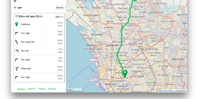
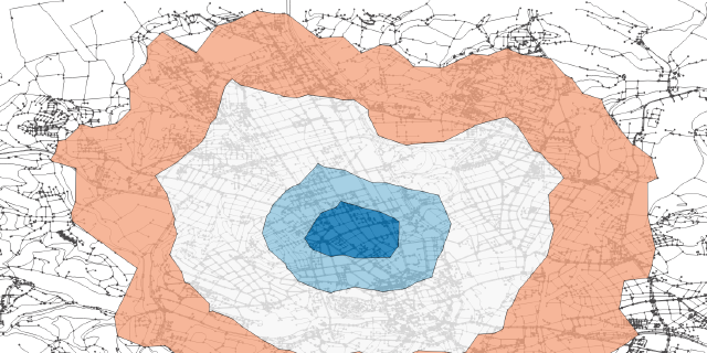
The pgRouting project is an open-source, community-driven project that develops and maintains the pgRouting extension for PostgreSQL. The pgRouting extension for the PostgreSQL database management system provides geospatial routing and network analysis functionality. It allows users to perform queries on a (transportation) network, taking into account the costs and restrictions of the network. This can be used for things like routing directions, vehicle routing, and network analysis. It is written in C++ and SQL and can be used in a variety of programming languages.
How Georepublic benefits from pgRouting
Georepublic and our customers benefit from pgRouting in a variety of ways. Some examples include:
- Logistics and transportation: Companies that provide logistics and transportation services can use pgRouting to optimize their routes, reduce fuel consumption and costs, and improve delivery times.
- Geographic Information Systems (GIS): Companies that use GIS technology can use pgRouting to perform network analysis and create maps that display the shortest paths between points on a transportation network.
- Emergency services: Emergency services organizations can use pgRouting to quickly find the shortest path to an emergency location, taking into account real-time traffic and road conditions.
- Real estate and urban planning: Developers and urban planners can use pgRouting to plan and analyze transportation networks and assess their impact on real estate development projects.
In general, pgRouting can help companies to improve their operations, save costs and enhance the user experience by providing accurate and efficient routing services.
Georepublic and some of our team members are major contributors to the pgRouting project and also members of the Project Steering Committee .


